FIREFLY
Technology
MEASURELiDAR Scanning Technology
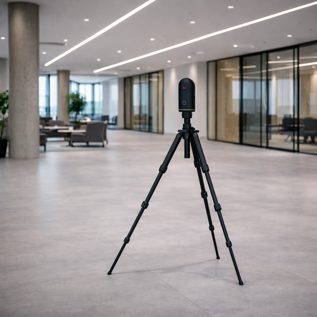

We use LiDAR technology to capture millions of precise data points, delivering true as-built dimensions rather than relying on information from legacy drawings.
CAPTUREDigital Reality Capture
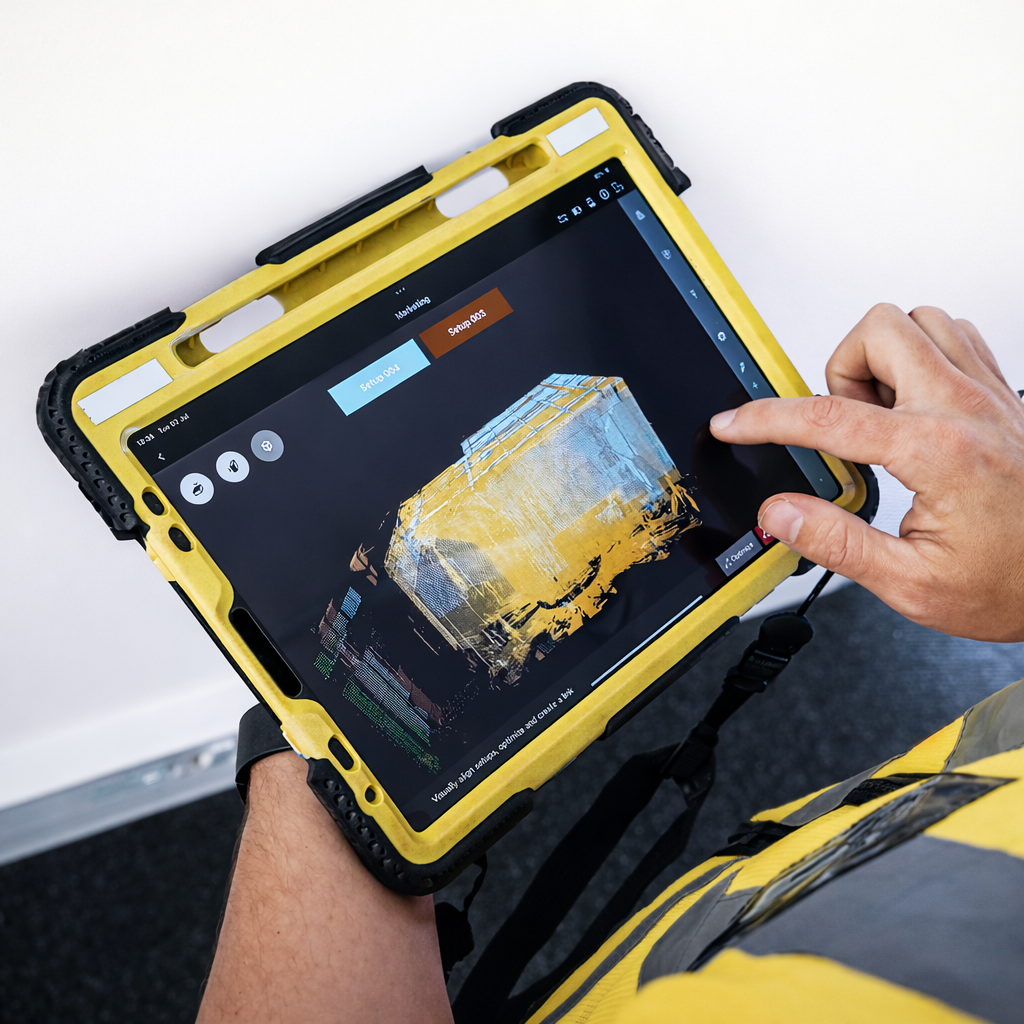
A certified Digital Surveyor captures a digital record of the building. With a single scan, the entire building is captured once. This significantly reduces the need for repeat site visits, and measurements can be extracted at any time, eliminating the need to re-measure when project scope changes.
PLATFORMBuilding Insights Hub

Standardised Building Data and Information across your Portfolio that is easily accessible via the Building Insights Hub.
DATA COLLECTIONFireFly’s Spatial Data Library
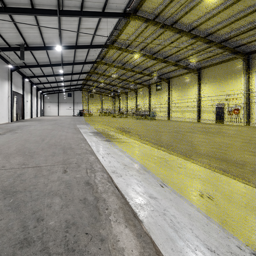
A rich 3D spatial data set processed through a standardised quality workflow. Our quality process has been iterated and refined through the digitisation of over 60,000 buildings across multiple regions.